 |
 |
Customers Drive Our Innovation
The VG4D SmartLiDAR Explorer leads the pack of LiDAR software solutions of today.
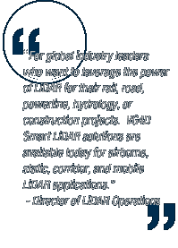
Our customers, who are global leaders in rail, road, powerline, constructions, engineering and a variety of applications have helped us build the VG4D SmartLiDAR Solutions. Our Stand-alone tools are designed to process all types of LiDAR: Airborne, Low Altitude Corridor, Mobile & Static.
Call us today to see how we can help you expand your LiDAR capabilities and win new business.
Check out latest news for our product releases and other events.
|


